Text and Photos by Robert Ulanowicz, Ph.D., Ichetucknee Advisory Board Member
There was a break in the heat as the small group of Ichetucknee Alliance affiliates assembled on the Columbia County Courthouse Square in Lake City. Jim Stevenson, the “grandfather of the springs,” set up his map on an easel in the square to share his formidable knowledge and experience with the springs to introduce a tour of the Ichetucknee Trace, the pathway by which water makes its way through the county to feed the Headspring and Blue Hole Spring within the State Park.
Surrounded by government buildings, Jim recounted some of the political maneuverings in which he participated to bring county government to bear on sustaining the most valuable natural resource in the area. The county is still run by locals who grew up in the area and Jim recalled how he would guide his conversations with the leaders towards their own childhood experiences with the springs, which would often awaken their motivation to take effective actions on behalf of the springs.
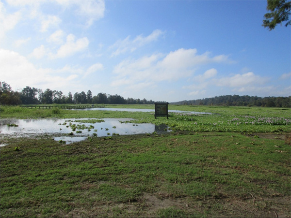
The caravan of five cars then moved less than a mile south of town center to the park on the northern edge of Alligator Lake, an approximately 800-acre body of water that receives the bulk of surface runoff from the town center. Hurricane Irma had the lake at its highest level in a long while. Most of the surface was covered with water hyacinth and emergent vegetation. Jim pointed out how the flow from town had been subtly routed through a small collector basin to remove trash, then routed along a berm on the northeast shore to be diffused through natural depurating wetlands before it could enter the lake proper.
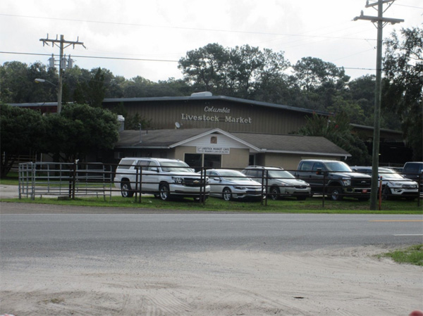
Our caravan stopped briefly near a livestock market on U.S. Highway 441. The operation was notable, Stevenson explained, because the owner—of his own volition and with his own resources—created a treatment facility to process animal waste, lest its residue make its way into the springs.
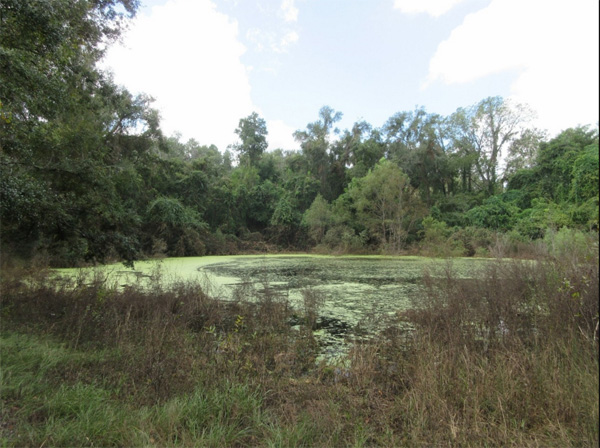
At State Road 47 and I-75, the group had a look at Cannon Sink that swallows Cannon Creek as water begins its underground journey to the south. During very high flow, as occurred a few days earlier during Irma, the sink overflowed into a creek bed that passed under I-75.
At a brief stop at the Super 8 Motel beyond the Interstate, Jim related how large areas of lawn and numerous septic tanks still impact water flowing to the springs.
Beside County Road 242 sits the Lake City surface spray field, where partially treated sewage is sprayed on surface vegetation to undergo denitrification in the root zone. Recently, an artificial wetland has been created to remove most of the nitrogen from this wastewater. There remains a small sprayfield near the banks of Clayhole Creek where the less-efficient grass treatment is still used.
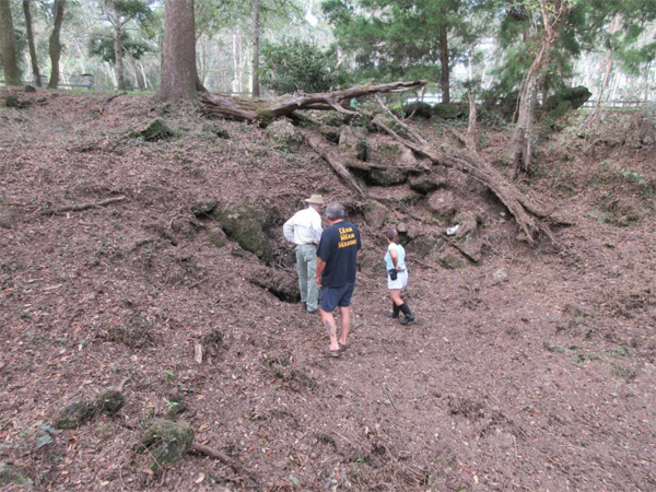
Next stop was nearby Dyal Sink, the location where a notable dye trace study was initiated to gauge the transit times of water entering the sink to various locations along the way to the spring. It was discovered that transit was remarkably short, on the order of eight days, and that the water was even quicker in making its way to Columbia City Elementary School, where it had been used as drinking water by the students. Since the transit time is too short to purify the groundwater, the county had to run a separate water line to provide clean drinking water the school.
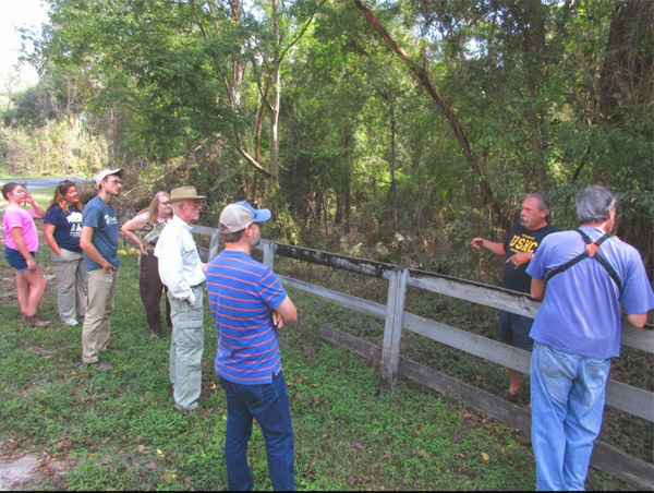
It was near Dyal Sink that the current owner of the property on which it sits and his wife came out to ask what was going on. The couple was soon drawn into Jim’s explanations and invited the group onto their property to observe several other sinks up close. The interest that the owners showed in the tour was repeated again later, when a pickup truck driver stopped by to inquire what was happening. The deep curiosity shown by both parties indicates the level of awareness that many residents in the area have regarding the need to preserve the Ichetucknee.
Near the intersection of County Road 240 and State Road 47 sits Rose Sink, which swallows up what remains of Clayhole Creek’s water to send it on its way south. Efforts are currently underway to acquire more land adjacent to Rose Sink. From here on, flow is totally underground. The underground river follows a river bed on the surface called the Ichetucknee Trace. Careful inspection of the landscape still reveals the path of the trace.
The river flows beneath large cultivated fields, where nitrogen from fertilizer seeps into the underground stream. The group stopped at one such large field that was adjacent to an abandoned phosphate mine. The operation by Dutton Phosphate was halted as part of the agreement to allow the expansion of the Suwannee American Cement Plant. Whereas nitrogen in the mining ponds was some 7 milligrams per liter (mg/L) when the mine was abandoned, the waters are now below the 0.35 mg/L maximum for natural waters.

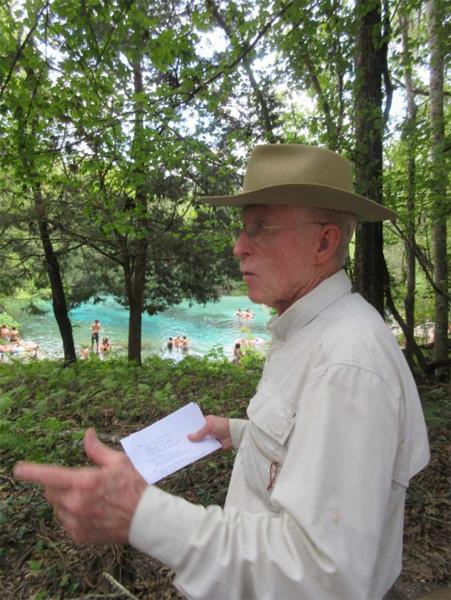
What better end to the tour than to stand alongside the Headspring in Ichetucknee Springs State Park and hear Jim talk about the spring to which he has contributed so much expertise. After seeing such dense tannin flowing into the sinks, it was reassuring to see the clear blue water issuing from the limestone fissure to create the Headspring. Now everyone had a good idea of where this water had been, what threats it faces and what can be done to keep it flowing free and clear.